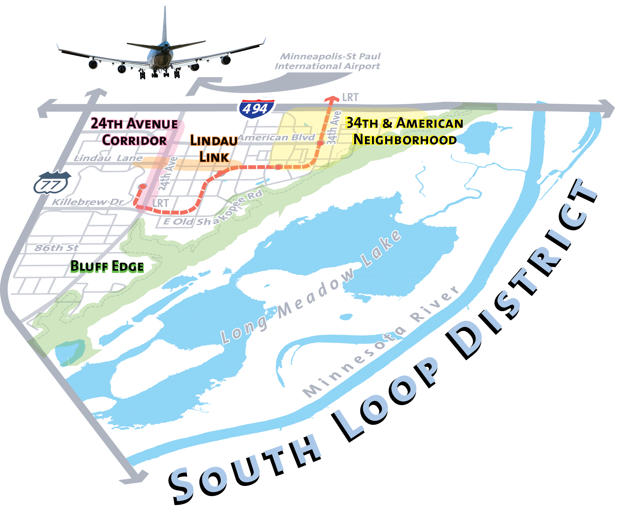
Title

South Loop District

Banner
Sections

Bloomington’s South Loop District extends from I-494 on the north, TH 77 on the west, to the Minnesota River on the south and east. It is a distinctive urban center where people build their lives around work and community. It's a trendy neighborhood at the crossroads of the metro area's transportation networks, yet it's only moments away from the quiet, unspoiled beauty of the Minnesota Valley National Wildlife Refuge.

The South Loop District is not a retreat from modern life, but a confluence of environmental and economic forces. The District is a center for business and employment, connected to the Twin Cities metropolitan area by adjacent freeways and convenient transit, and to global centers such as Amsterdam, Tokyo, Paris, and London via direct flights from the nearby Minneapolis-St. Paul International Airport.

Why does South Loop prosper? Because it has unparalleled connectivity; it is a regional center for commerce; and it brings together urban development and natural resources in one place.

In August 2013, the Bloomington City Council officially adopted the South Loop District Plan, a strategic framework designed to guide the growth and transformation of this vital urban area. To ensure the strategy remained relevant to the area’s development, an update was adopted in October 2025. This update serves as an addendum to the original document, assessing the consistency and impact of changes that have taken place since 2012. While the 2025 update maintains the core vision and foundational goals of the initial plan, it incorporates new policies and actionable steps tailored to current conditions. You can see the update below: 

About the South Loop District
South Loop partners
Sidebar Widgets
Contact Information

Contact Information

Planning Division